This morning, the National Weather Service — Paducah issued a flood watch across Southeast Missouri, effective until 1 a.m. Saturday. A consecutive flood warning will last until 11:25 a.m. Sunday.
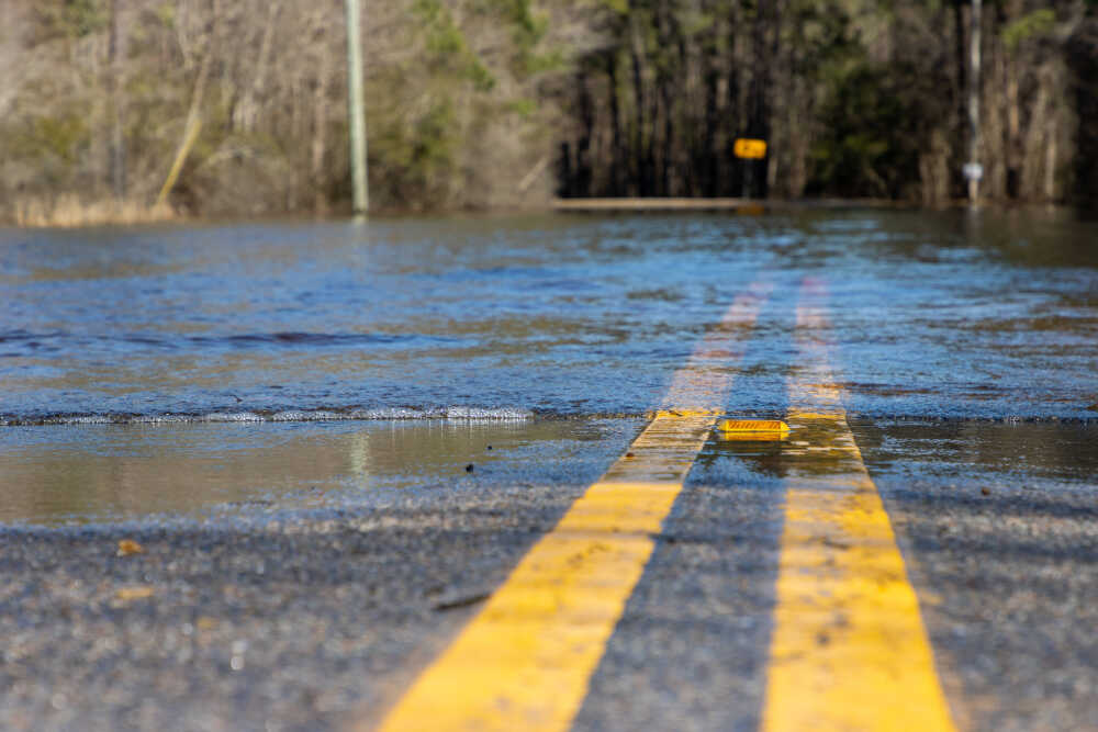
Reports said rainfall and runoff had raised the Black River to 6.8 feet as of 9 a.m. this morning. With severe thunderstorms expected to drench the region in another 2-5 inches tonight, NWS forecasts the river will reach the minor flooding stage early Saturday morning and crest during the day.
“The river is expected to rise above flood stage late tonight to a crest of 18.0 feet early tomorrow afternoon. It will then fall below flood stage early Sunday morning,” read an NWS press release.
NWS also cautioned residents to expect flooding of creeks, streams, low-lying areas and some roads.
The severe thunderstorms bringing this flooding have prompted warnings across Southern Illinois, Western Kentucky and Southeast Missouri. They are forecasted to arrive late this afternoon and evening with gusts up to 40 mph, and tornadoes are not outside the realm of possibility.
“Damaging winds and isolated tornadoes are the primary potential hazards with any strong to severe storms that develop. Large hail is also a possible severe storm hazard,” said NWS.
More information and weather updates are available at weather.gov.